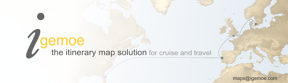
Travel Itinerary Maps
YOUR TRAVEL ITINERARIES AT A GLANCE, THE PLACES, THE MODES OF TRAVEL – IN SHORT, THE JOURNEY
When the journey is the destination how better to show it than on a map? Better still, an engaging interactive map.
For travel companies Igemoe offers a viable way to display all your itineraries in map form in an eye catching, easily remembered way. The Map System’s data fed approach with automatically drawn routes cuts the time in creating maps; while the customization we offer in map look ensures your maps are distinctive and on brand.
Online, on Tablet, on Mobile and in Print …
Igemoe outputs maps for both online and print use and can provide the solution for all your map needs whether your customers are viewing on tablets and mobiles, desk and laptops or sitting browsing a brochure.
The maps below will give you an idea of the different types of map and outputs you can get using Igemoe.
A Content Rich Interactive Map
The Igemoe interactive map example above shows a classic coast to coast road trip across the US on a soft physical style map with state borders. Auto roll out captions announce each stop as the animated route plays.
Click on the dots to see pics and follow the journey – all content is data fed and the routes automatically drawn.
An Animated Route Map
In this map showing a Japan Tour eye catching, animated plane, coach, train and boat routes play out the journey accompanied by auto roll out day by day captions.
Attractive Static Maps for Digital and Hi Res Print Use

And here examples of a static map output from each of the above itineraries. Static maps can be output at qualities suitable for digital or hi-res print use. If you compare these with the maps above you can see how Igemoe allows the fidelity of font and icon size to be maintained across different size map displays saving time in recreating maps.
Key Points
- Maps can be customized to your brand look and style
- Itineraries are data fed onto maps and routes automatically drawn saving time in map production
- The Igemoe System outputs both interactive maps for online use and static maps for print
- Online maps are viewable on the widest range of devices from desktop computers to the latest tablets and mobiles
- Interactive maps can include destination pop-ups with images, info and links